--°
Checking the sky…
radar nowcast · next hour
Now+3 hr+6 hr
--°
Checking the sky…
radar nowcast · next hour
Now+3 hr+6 hr
When will the heat break in Columbus?
A ten-day run of ninety-degree heat ends Wednesday as a cooler airmass moves into the CNAW viewing area, bringing highs to the low 80s by Thursday.
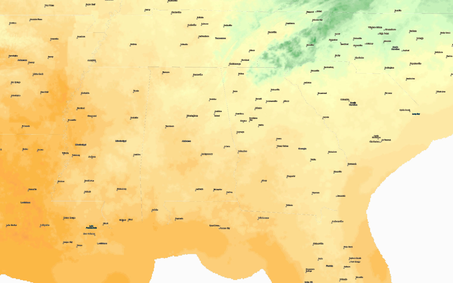
Columbus has now seen ten days in a row at 90 degrees or above, with today's high expected to reach 94. That streak ends Wednesday when a cooler airmass moves into the region, bringing highs down to the low 80s by Thursday and holding there through the weekend. Today still carries a marginal risk for severe weather — the main concern is damaging wind gusts in the strongest afternoon storms. Rain chances sit at 30 percent, but any storms that develop could pack a punch. By this evening a strong wedge of cool air begins to push down from the northeast, setting up the pattern shift. Thursday through Sunday look like the first real taste of fall in weeks, with highs in the low to mid 80s, lows in the upper 50s and low 60s, and virtually no rain in the forecast. It is the kind of weather people have been waiting for since summer.
| Day | High | Low | Rain | Conditions |
|---|---|---|---|---|
| TODAY | 94° | 71° | 30% | Chance Showers And Thunderstorms |
| WED | 90° | 69° | 20% | Mostly Sunny then Slight Chance Showers And Thunderstorms |
| THU | 83° | 62° | 4% | Partly Sunny |
| FRI | 83° | 59° | 0% | Sunny |
| SAT | 84° | 58° | 0% | Mostly Sunny |
| SUN | 87° | 59° | 2% | Mostly Sunny |
| MON | 88° | 61° | 8% | Mostly Sunny |
Written by the CNAW 2 weather desk from CNAW 2 weather desk data. Last updated September 22, 2026 at 4:24 PM Eastern. Covering Columbus and Phenix City, Auburn–Opelika, LaGrange, Eufaula and the rest of the 19-county CNAW viewing area.