--°
Checking the sky…
radar nowcast · next hour
Now+3 hr+6 hr
Media
More Stories
Curated by the CNAW newsroom
Curated by the CNAW newsroom
Minute-by-minute rain for your street, live traffic and the Valley's news the moment it happens.
Will fall and winter be wetter than normal in Columbus?
A strong El Niño in the Pacific is favoring above-normal rainfall across the region during the October through December period.
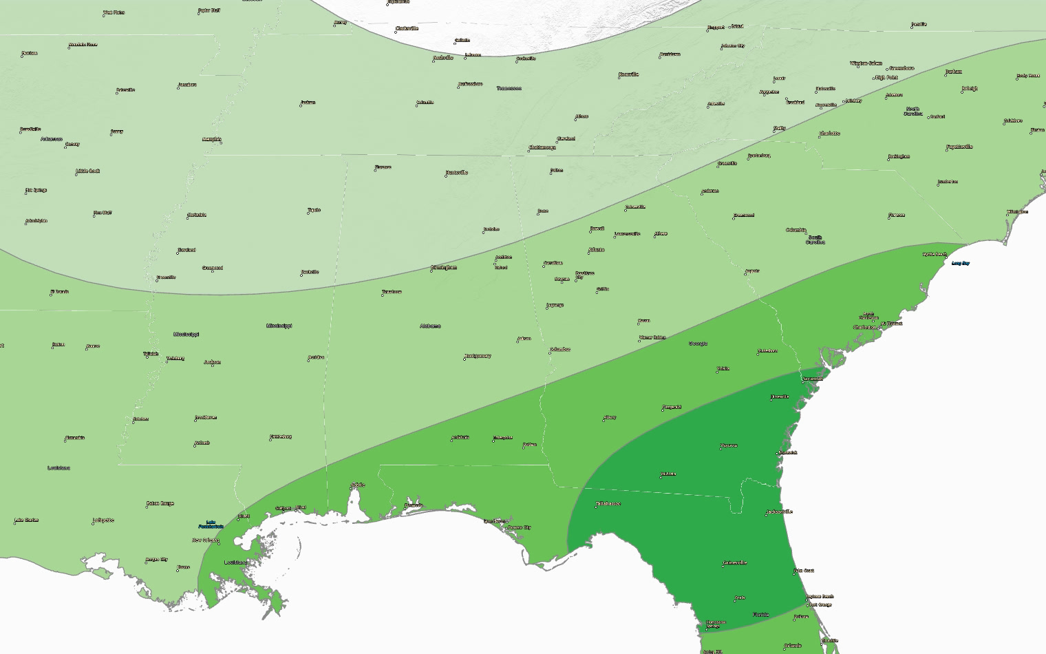
The viewing area has picked up 40.29 inches of rain so far this year, running about four and a quarter inches ahead of the normal pace through this date. That surplus matters because a strong El Niño is now in place across the Pacific, and the historical record suggests what comes next. When El Niño strengthens the subtropical jet stream across the southern United States, it typically ushers in a wetter and often cooler cold season along the Gulf South. That means more storm systems crossing the region and a raised risk of severe weather in the Gulf states during the months ahead. The seasonal outlook for October through December shows a 40 percent probability of above-normal precipitation across our area. That would add to what's already shaping up to be a damp year. The temperature outlook for that same period leans toward above normal with a 33 percent probability, though January through March is expected to track closer to normal.
| Day | High | Low | Rain | Conditions |
|---|---|---|---|---|
| TODAY | 94° | 72° | 14% | Sunny |
| TUE | 94° | 71° | 15% | Mostly Sunny |
| WED | 91° | 68° | 26% | Sunny then Chance Showers And Thunderstorms |
| THU | 85° | 63° | 12% | Mostly Sunny |
| FRI | 84° | 62° | 3% | Sunny |
| SAT | 87° | 61° | 0% | Sunny |
| SUN | 86° | 60° | 5% | Mostly Sunny |
Written by the CNAW 2 weather desk from CNAW 2 weather desk data. Last updated September 21, 2026 at 11:17 AM Eastern. Covering Columbus and Phenix City, Auburn–Opelika, LaGrange, Eufaula and the rest of the 19-county CNAW viewing area.